


Swiftmaps History
Swiftmaps and Graphics has been in business for over 20 years. Swiftmaps began as a small start-up in 1998. Now with over 20 full and part time employees Swiftmaps continues to expand and broaden their market throughout the world – now entering the continents of Europe, Asia and Australia. Swiftmaps not only manufactures their own line of decorative and educational wall maps but now also has a full printing, sign and graphics company to compliment their map line-up. Come browse – take a look – and see why Swiftmaps has become an innovative and marketplace leader for over 10 years.
Our top-selling World and United States map styles:
|
|
|
|
|
|---|---|---|---|
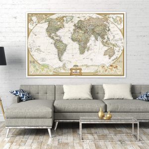
Classic Premier SeriesEnjoy bold and rich land masses and deep blue oceans along with cool 3D elevation and ocean shading! Simply type “Swiftmaps Premier” in the Amazon search bar to find it! |
Contemporary Elite SeriesA contemporary version series with rich tan / vintage style oceans along with elevation and ocean shading! Simply type “Swiftmaps Contemporary Elite” in the Amazon search bar to find it! |
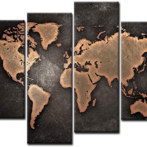
Decorator SeriesA home decor series that included a new and fashionable color scheme for home and office! Simply type “Swiftmaps Decorator” in the Amazon search bar to find it! |
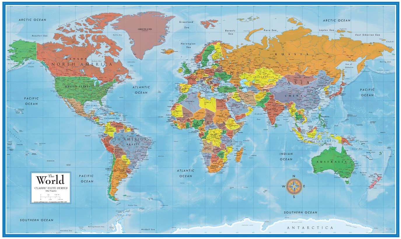
Classic Elite SeriesThe Classic Elite series is a popular choice for those who want the classic blue ocean nature of a wall map! Simply type “Swiftmaps Classic Elite” in the Amazon search bar to find it! |


Moviebuff777 –
This map is great for teaching children about the countries of the world. It gave an image that’s hard to understand on Google maps as they could see and read all the names of the countries without having to zoom in and out. We can name the continents and see the distances. We can also name countries and search for them.Computers are great, but looking at an actual map is a great way to gain perspective of the world.The quality of the map is great, the colors are sharp and lettering is legible. Paper quality is a heavy stock, great for hanging on a wall.
Jennifer –
I don’t get out much, so I never knew there were so many places. This picture lets me see all these places they say exist. One nice thing, it confirmed that B.S. about the world being all round and sh*t. I knew that was a line of B.S. the moment I heard that pervie teacher tell me back in school. A damn fool can see right here the world is FLAT!!
Thomas P. Hunt –
I bought this map so the grandkids could learn a little bit about our planet. Put it on the wall at their level and they ask questions like, “Where are we?” and “What country is this?” “How come some are so small and others so big?” It got their curiosity piqued which is exactly the reason I bought it. Works like a charm.
Richelle Thompson –
one of my favorite buys. while my son was deployed we could follow him on this map. we even added pictures of him when he would port. till sitting out and my son has been home for 2 months. #gonavy
Candous Brown –
This map is HUGE and easy to see. When teaching geography, international trade routes, etc. this map comes in handy. I may put something on it so that I can use dry erase markers on it because as it stands, I don’t think the marker will come off. But otherwise, this map is definitely worth the purchase.